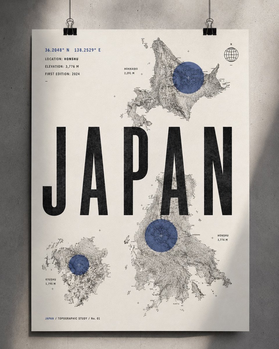
Topographic Country Cartography Art Print
A sophisticated art print prompt inspired by Swiss graphic design and topographic mapping, focusing on geographic identity and minimalist typography.
นี่คือตัวอย่างข้อความแจ้งเตือน GPT Image 2 สำหรับ กราฟิกและโปสเตอร์ ใช้ข้อความแจ้งเตือนที่พร้อมใช้งานด้านล่างเพื่อสร้างภาพที่คล้ายกัน และตรวจสอบการอ้างอิง Awesome GPT Image 2 Prompts รวมถึงสิทธิ์ในการใช้งานเชิงพาณิชย์ก่อนนำไปใช้ซ้ำ
ต้องการชุดข้อความแจ้งเตือนทั้งหมดหรือไม่? ใช้... กราฟิกและโปสเตอร์ ศูนย์รวมหัวข้อสำหรับตัวอย่างที่เกี่ยวข้องเพิ่มเติม หรือเปิดดูได้เลย GPT Image 2 แคตตาล็อกพร้อมท์ สำหรับดัชนีตัวอย่างฉบับเต็ม โครงสร้างที่นำกลับมาใช้ใหม่ได้ และการอ้างอิงแหล่งที่มา
Free 1K preview
Generate one preview image instantly, no sign-up required.
2468/4000
พรอมป์
ข้อความแจ้งเตือนพร้อมสำหรับการคัดลอก
Create a sophisticated 4:5 vertical contemporary country art print inspired by Swiss graphic design, topographic maps, modern editorial posters, and premium outdoor cartography.

MAIN CONCEPT: Represent {argument name="country" default="[COUNTRY]"} through its topography, coordinates, and geographic identity rather than landmarks or tourist imagery.

BACKGROUND: Clean warm-white / very light ivory paper with subtle tactile grain.

MAP COMPOSITION: Use 2–3 cropped sections of highly detailed black-and-gray topographic contour maps representing important geographic regions of {argument name="country_name" default="[COUNTRY]"}. Arrange them asymmetrically with generous white space.

Place one large translucent circular accent over the most significant geographic location. The circle should feel like a modern cartographic location marker rather than a normal map pin.

TYPOGRAPHY:
Across the center, place an enormous bold condensed sans-serif title:

{argument name="country_title" default="[COUNTRY]"}

The typography should partially overlap the contour maps, creating a striking editorial composition.

Add small technical geographic information around the poster:

[LATITUDE]° [LONGITUDE]°
LOCATION: [CITY / REGION]
ELEVATION: [ELEVATION] M
FIRST EDITION: [YEAR]

Include a tiny minimalist globe / compass / geographic coordinate symbol in one corner.

Add a very small secondary typographic element:

[COUNTRY] / TOPOGRAPHIC STUDY / No. 01

COLOR PALETTE: Mostly black, white, and soft gray with one bold {argument name="accent color" default="muted accent color"} — deep red, burnt orange, forest green, cobalt blue, or ochre. Use the accent only for the circular geographic markers.

DESIGN LANGUAGE:
Swiss International Typographic Style × contemporary cartography × vintage topographic survey × minimalist editorial design × luxury outdoor magazine.

IMPORTANT: The contour lines must be dense, organic, geographically believable, and beautifully detailed. They should become the main visual texture of the artwork.

No flags • no tourist landmarks • no illustrations • no photographs • no decorative borders • no excessive text • no gradients • no clutter.

MOOD: intelligent • geographic • modern • adventurous • architectural • collectible • premium.

FINAL PRESENTATION: Show the print as a clean gallery/product photograph, either pinned or hanging against a simple architectural wall, with soft directional lighting and a subtle natural shadow.
ตัวแปรพร้อมท์
ตัวอย่างค่าอาร์กิวเมนต์ที่แก้ไขได้ซึ่งพบในข้อความแจ้งเตือน พร้อมค่าเริ่มต้น
ตัวแปร
country
ค่าเริ่มต้น
[COUNTRY]
ตัวแปร
country_name
ค่าเริ่มต้น
[COUNTRY]
ตัวแปร
country_title
ค่าเริ่มต้น
[COUNTRY]
ตัวแปร
accent color
ค่าเริ่มต้น
muted accent color
Best for
- - กราฟิกและโปสเตอร์ visual exploration
- - Image generation and reference-image edits
- - Reusable briefs that keep source attribution visible
Change these parts
- - Subject, product, character, or scene
- - Aspect ratio, camera, lighting, and background
- - Brand, text, color, and output constraints
Recommended model and settings
- - Model: gpt-image-2
- - Input mode: ข้อความเป็นรูปภาพ
- - Aspect ratio: source
- - Commercial status: review original source
How to use this prompt
- 1. Copy the prompt and preserve its structure for the first test.
- 2. Replace the subject, context, and publishing channel.
- 3. Change one camera, lighting, or style variable per iteration.
- 4. Inspect the output, source, text, and rights before reuse.
Limitations, source, and reuse cautions
- - Generated output is an editable draft, not factual, legal, or rights evidence.
- - Review the linked source, people, brands, logos, text, and third-party media before commercial use.
นำเข้าจาก Awesome GPT Image 2 Prompts จำเป็นต้องระบุแหล่งที่มา สถานะการใช้งานเชิงพาณิชย์คือ allowed โปรดตรวจสอบสิทธิ์แหล่งที่มาก่อนใช้งานแบบเสียค่าใช้จ่าย
กรณีเพิ่มเติมในหมวดหมู่นี้
จัดลำดับความสำคัญตามหมวดหมู่ ความเข้ากันได้กับโหมดการป้อนข้อมูล คุณภาพ และความเสี่ยงที่ต่ำกว่า
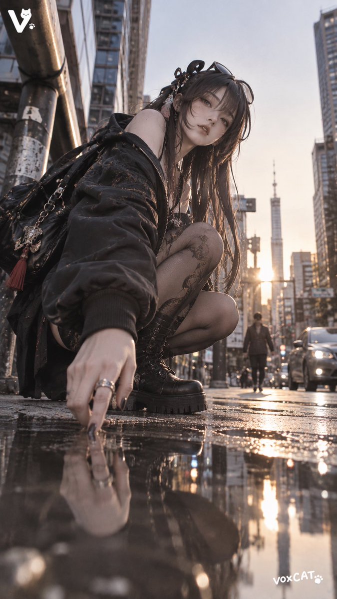
GPT Image 2 Real-Life Character Street Snap
ข้อความเป็นรูปภาพ
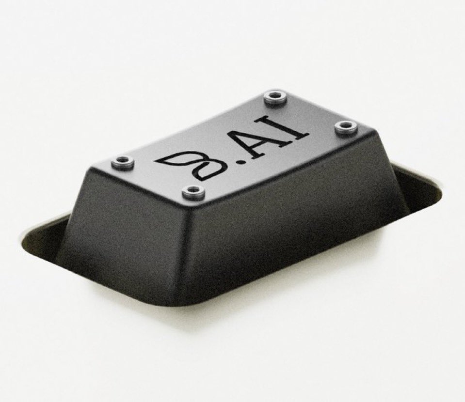
Matte Black B.AI Keyboard Keycap
ข้อความเป็นรูปภาพ
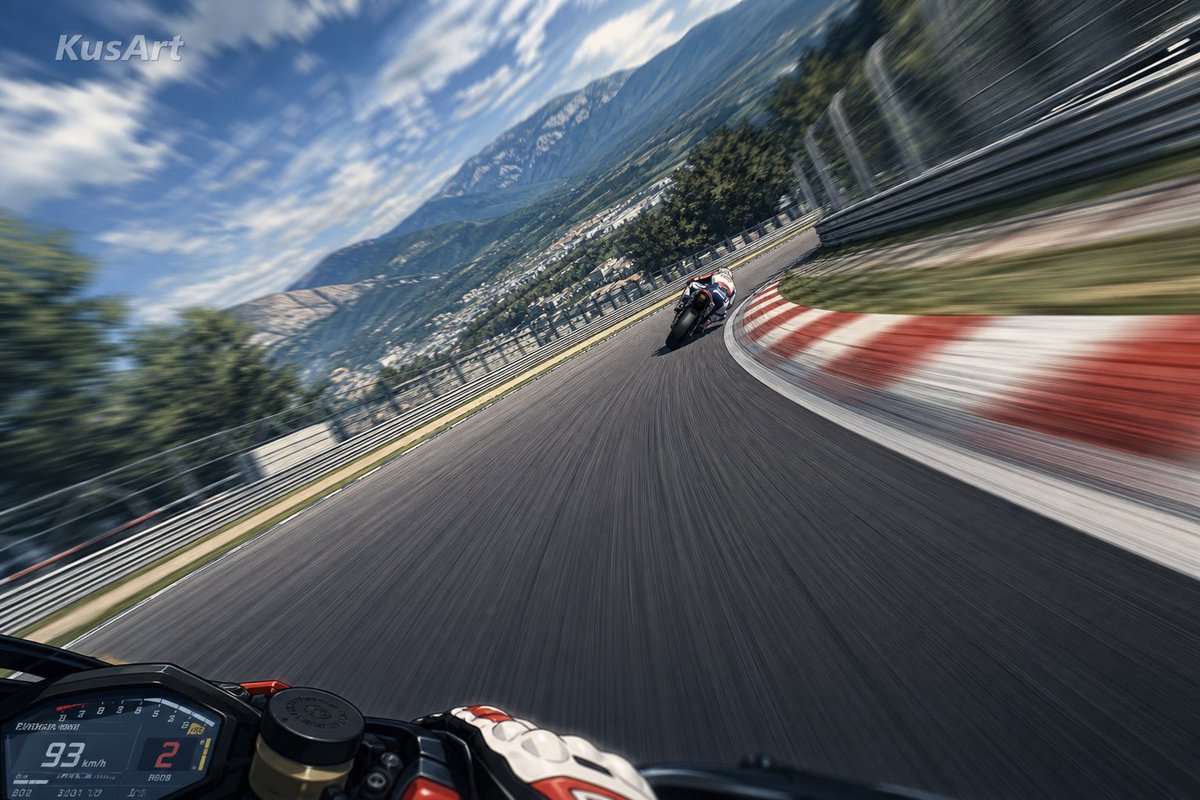
MotoGP POV Cornering Shot
ข้อความเป็นรูปภาพ
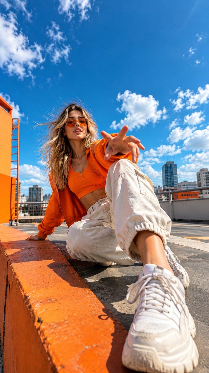
Orange Rooftop Fashion Photo Prompt
ข้อความเป็นรูปภาพ
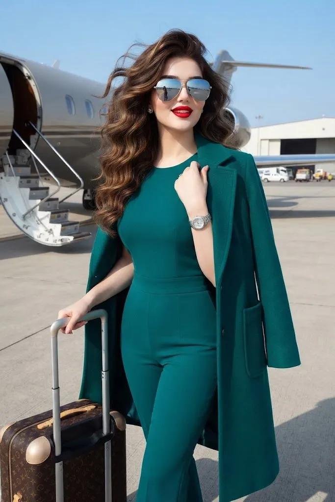
Luxury Travel Fashion Portrait Prompt
ข้อความเป็นรูปภาพ
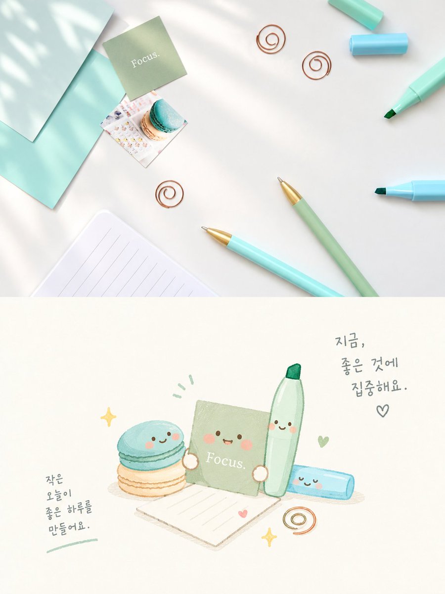
Cute Focus Desk Flat Lay and Kawaii Illustration
ข้อความเป็นรูปภาพ
หมายเหตุเกี่ยวกับการนำกลับมาใช้ใหม่และแหล่งที่มา
ใช้ข้อความแจ้งเตือนนี้อย่างปลอดภัยหลังจากดูตัวอย่างกรณีแล้ว
- 1.คัดลอกข้อความแจ้งเตือน หรือเปิดโดยตรงใน Dovoo โดยใช้ปุ่มสร้างข้อความ
- 2.ปรับตัวแปร อัตราส่วนภาพ และภาพอ้างอิงให้เหมาะสมกับกรณีการใช้งานของคุณ
- 3.ก่อนเผยแพร่หรือใช้งานโดยเสียค่าใช้จ่าย โปรดตรวจสอบสิทธิ์ในแหล่งที่มา ข้อกำหนดการอ้างอิง และความเสี่ยงด้านแบรนด์หรือภาพลักษณ์